Travel Diaries: Oct 7th
Winay Wyana ----- Destionation: Machu Pichu!!We hardly slept last night. The anticipation of being there was unbearable :). It was much warmer that the previous night. We were to leave earlier than usual and breakfast was unthinkable so early, though i did try to coax myself into eating some toast.
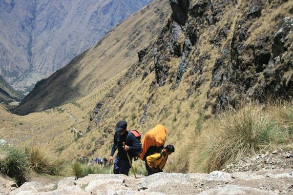
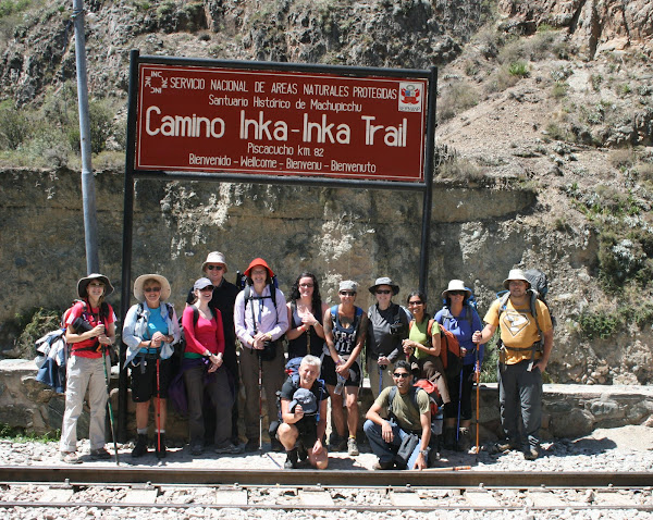
Packed , we set off at 4:30 AM. It was close to an hours wait at the gate. We were the fourth team that got there and we waited for the gates to open. They soon did..and then the rush began.
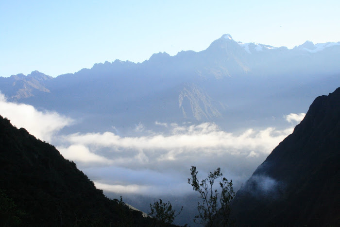
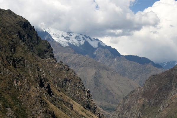
The final day felt like a race to the finish line, no kidding it really did. There were close to 15 groups all trekking up trying to get to Machu Pichu as soon as possible. The trail was narrow and we did our best to keep pace. After about an hour I started feeling the need for some sugar...So we stopped and got a few biscuits and later hurried up to Sun Gate to catch up with the rest of the group.
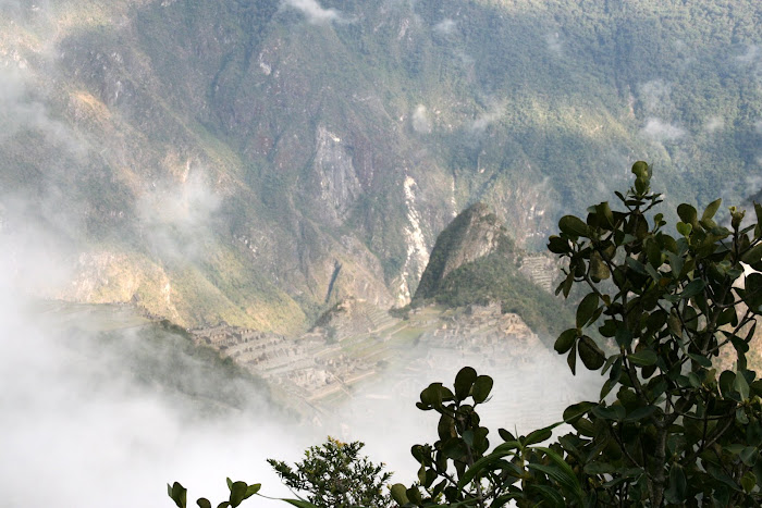
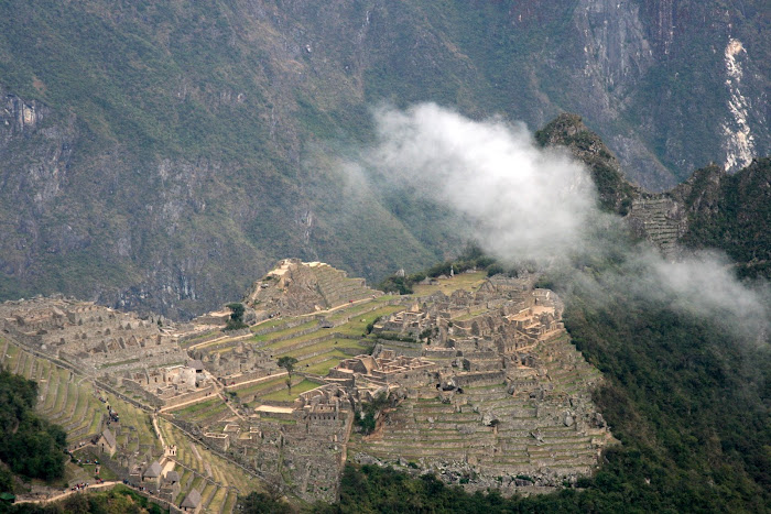 |
| Our first glimpse of Machu Pichu from Sungate |
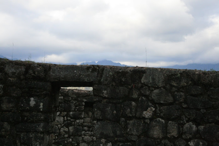
Sungate is our final pass . The final leg was a steep stretch of close to 50 steps and then we were there in Sungate (
'Intipunku'), and in front of us was Machu Pichu. When we first got there I couldn't really spot what we wanted to see as there were so many other things in the scene of view too :) ..And just when I was thinking where is Machu Pichu , I saw it . (It somehow reminded me of the episode in Friends where Rachel can't see her baby in the scan :D... Don't mean to digress;)).
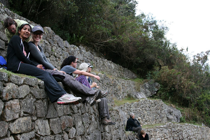 |
| Relaxing at Sungate |
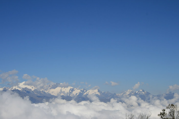
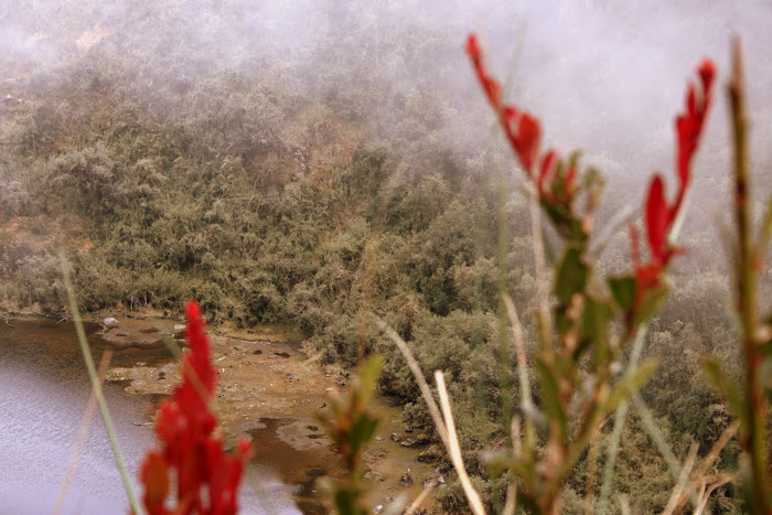
After catching our breath , we walked the final stretch to Machu Pichu. Along the way we stopped to get a few pictures under the fledgling rays of the sun. It was beautiful!
 |
| A more atmospheric shot of Machu Pichu , (along the way) |
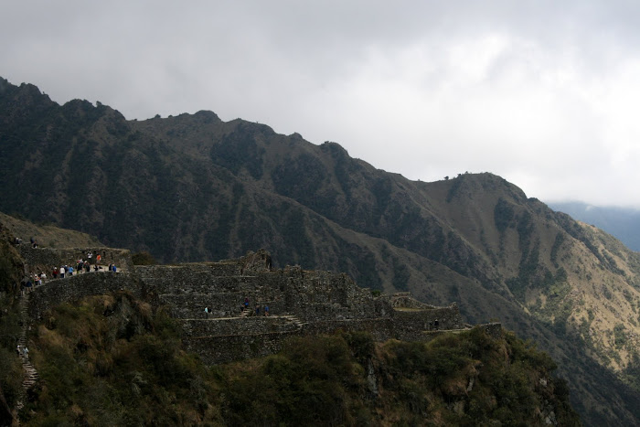
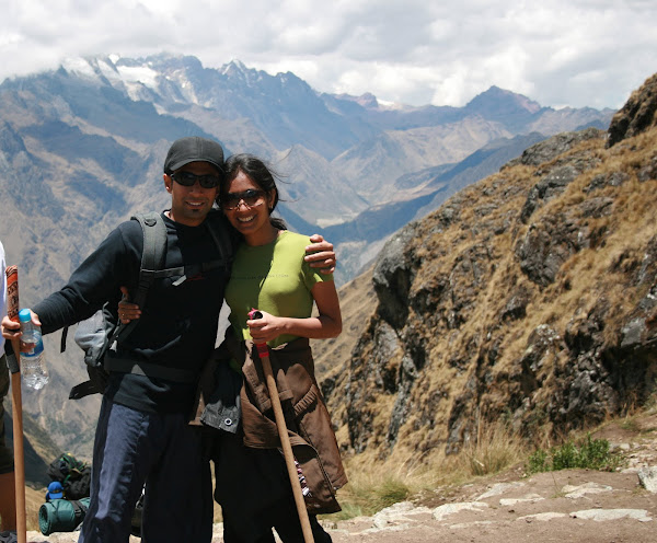
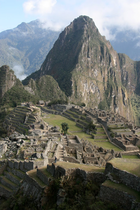
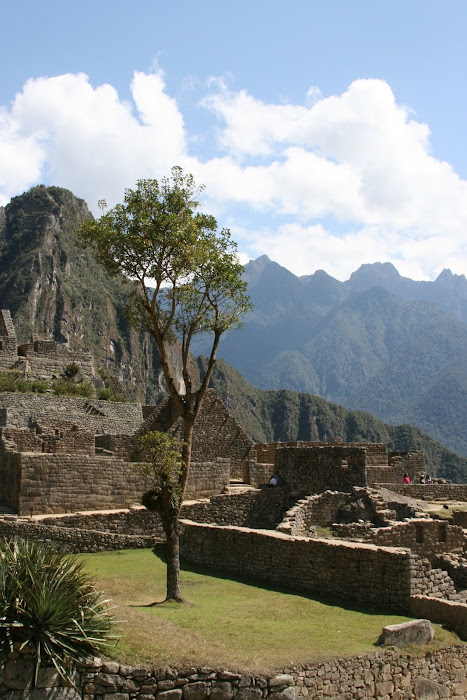
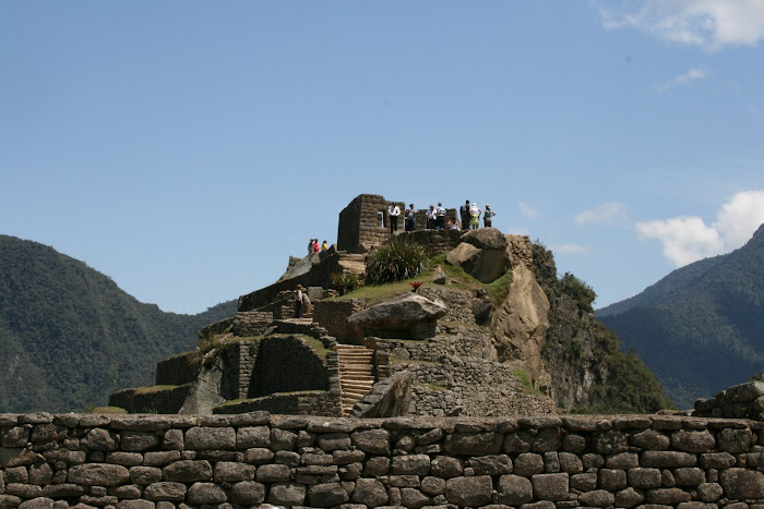
And Finally we were there...!... The moment was surreal. We could scarcely believe it. Machu Pichu is more beautiful that anything I had seen in the pictures. During the trail I did wonder at times if it would be as good as everyone said it would be. But it was a whole lot better than anything I had expected.
I just can't imagine that something like this was built 500 years back and if the ruins are so spectacular ,I would have really liked to see this sprawling Inca city during its moment of glory centuries back.
 |
| Hmmmmmm |
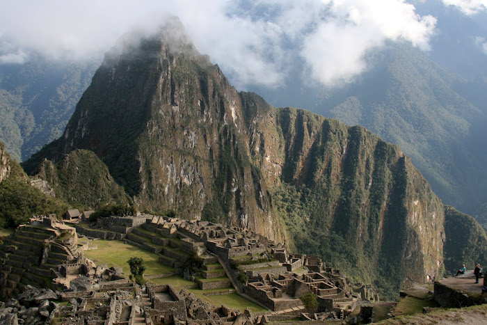 |
| Machu Pichu |
We took loads of pictures standing here... And then we just sat there taking everything in.
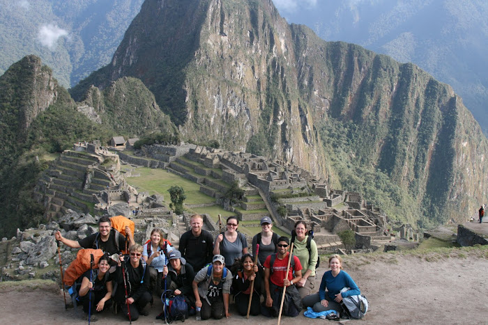 |
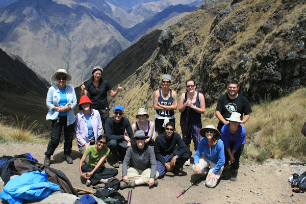
| We did it!!... The entire team |
 |
| Machu Pichu!! |
'Machu Pichu' means
Old Mountain and was discovered by Hiram Bingham who thought he had discovered the Lost city of the Incas. At 2432.75 m, it strategically overlooks the Urubamba valley.
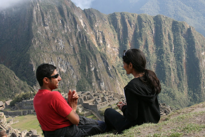
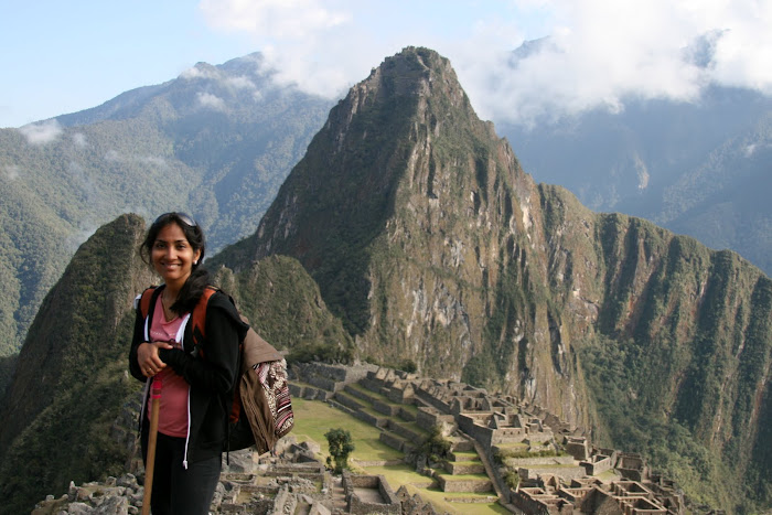 |
| I was there :)... |
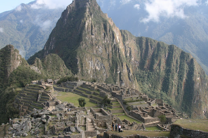 |
| Machu Pichu |
There are several theories behind the origin and purpose of Machu Pichu ranging from it being the birthplace of important Inca Woman to it being the residence of the Inca emporor. Strategically located it definitely was a very important Incan city.
 |
| Llama |
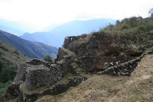
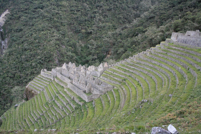
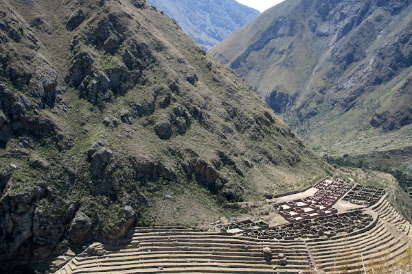
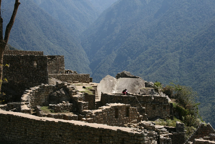
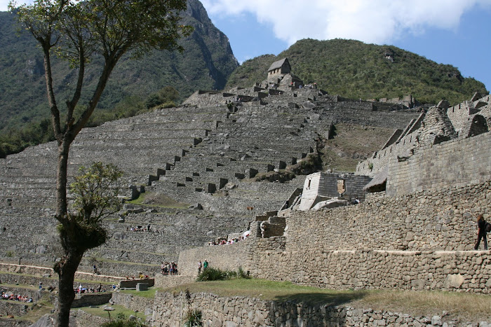
We walked through the city (which is hugeeee) and our guide pointed out to places of interest and explained the historical significance of these structures.
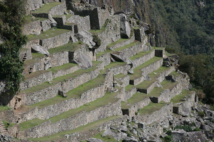 |
| Agricultural Terraces.. |
There are two distinct sections the Urban section and the Agricultural Section..Our guide explained that the agricultural terraces seen were not just to prevent erosion , but for temperature control enabling crops like corn to be grown at this altitude (at which they normally don't grow).
 |
| Courtyard |
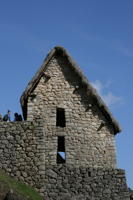 |
| 'Recinto Del Guardian' - Guardhouse |
 |
| Agricultural Zone |
The Inca's believed in three world - the world of the serpant, the world of the puma and the world of the condor. The Temple of the condor has a stone structure resembling a condors face and wings placed in the center. There also was a small cave like enclosure where the remains of sacrifices to the gods were thrown. Apparently at the beginning of every year a Lllama was sacrificed and if the heart of the llama stayed beating it was a harbinger of good fortune.. A still heart spelt misfortune....
 |
| Temple of the Condor |
 |
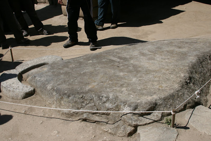
| Astronomical Observatory |
 |
| Sun Dial in Machu Pichu |
In all our excitement to get here , we did not factor in how much energy it would take to walk the city. We thought getting here was it... But no Machu Pichu tires you out :).. The inclined nature of the city makes sure that you work hard while you are here. It was a hot day and by mid afternoon we were tired.
So we walked back and took the bus to
Aguas Calientes. It is a small town known for its hot springs.
The group converged here for a meal together. It was good catching up and everyone seemed more relaxed.
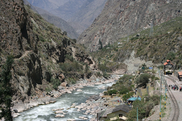
The train tracks run along the roads and there are restaurants on both sides :).
Haven seen scenes like these among the Himalayan Kingdoms in India and this most certainly reminded me of home,
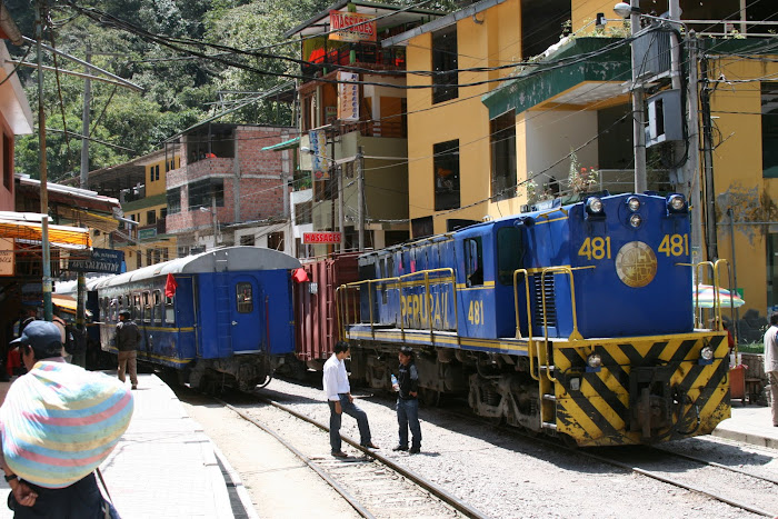 |
| Aguas Callantinas..Peru Rail |
Our train was only at 7:30 Pm. So we explored the town a bit. We tried converting some currency , but the rates were terrible, definitely a bad idea! We sat in one of the small cafes and enjoyed a meal. There was only one thing on my mind and that was a warm shower. But that will have to wait until Cusco.
Some light dinner and we were all set. The train was only as far as Ollayatambo from where we took the bus back to Cusco.
Tired, but extremely satisfied I had to pinch myself to believe that I had just visited Machu Pichu :).
M